Parts of Indonesia to See Heavy Rain as Tropical Cyclone 90S Seeds Exist
Translator
Editor
14 March 2022 07:50 WIB

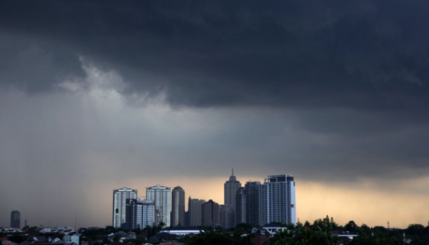
TEMPO.CO, Jakarta - The Meteorology, Climatology, and Geophysics Agency (BMKG) has been observing the presence of tropical cyclone 90S seeds in the Indian Ocean south of Java with a maximum wind speed of 20 knots and a minimum air pressure of 1002.7 hPa.
It is moving from southwest to the west and potentially becomes a tropical cyclone in the next 24 hours in the moderate category.
On Monday, March 14, heavy rain is predicted to shower West Java (Majalengka, Cirebon, and Cirebon City), Central Java (Tegal, Cilacap, Purworejo, and Klaten), Yogyakarta (Kulon Progo and Sleman), as well as Central Sulawesi (Palu City and Sigi) at the alert status of Siaga or Watch. Meanwhile, the weather forecast in 27 other provinces is in the alert status of Waspada or Caution.
Cities that potentially see rain with lightning include Aceh, Denpasar, Yogyakarta, Jambi, Pangkal Pinang, Kupang, Mamuju, and Palembang.
Moderate-intensity rain is also expected to occur in Serang, Bengkulu, Bandung, Semarang, and Padang. Meanwhile, the areas that will likely see no rain are Surabaya, Samarinda, Tanjung Pinang, Ternate, Jayapura, Manokwari, Makassar, and Kendari.
The BMKG further reported that the air temperature ranges from 21-33°C, with the lowest temperature in Bandung and the highest in Gorontalo, Pontianak, and Palangkaraya.
Read: Tropical Cyclone in Southern East Java May Lead to Extreme Weather, Warns BMKG
MARIA FRANSISCA LAHUR