Floods, Strong Winds Hit Bogor and Bandung amid Dry Season; BMKG Explains
Translator
Editor
6 June 2023 16:46 WIB
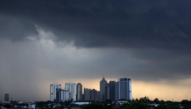
TEMPO.CO, Bandung - Floods and strong winds hit Bogor, Purwakarta, and Bandung areas on Monday, June 5, 2023. The Meteorology, Climatology, and Geophysics Agency (BMKG) explained that there is indeed a likelihood of light to extreme rains in several regions that have entered the dry season.
Today, June 6, the West Java BMKG’s Climatology Station also issued an early warning of potential extreme weather in Bogor until Pangandaran. It is forecasted that moderate to heavy intensity rain will drench Bogor, Depok, Bekasi, Karawang, Purwakarta, Subang, Sukabumi, Cianjur, and Greater Bandung at 13:00-19:00 local time.
Meanwhile, Garut, Sumedang, Majalengka, Kuningan, Indramayu, and Cirebon will likely see light to moderate rain at the same time.
The rain intensity will increase at night from 19:00 until the early hours of Wednesday in Kuningan, Ciamis, and Banjar, while it will drop to light-moderate intensity in the western and central regions.
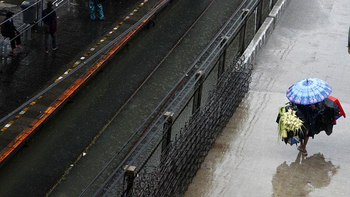
The early warning of rain accompanied by lightning or strong winds on a local scale was also released for almost all areas in West Java from noon to evening.
Based on the analysis of atmospheric dynamics on Monday, June 5, there were several phenomena supporting the potential for convective cloud growth which may boost rain showers in the West Java region, including active equatorial Rossby atmospheric waves.
“Atmospheric lability in parts of western West Java is in the mild to moderate criteria,” West Java BMKG’s Climatology Station official Rakhmat Prasetia said in a written statement, Monday, June 5.
ANWAR SISWADI (CONTRIBUTOR)
Editor's Choice: BMKG Spots Cyclone Seed in Latest Weather Forecast
Click here to get the latest news updates from Tempo on Google News