Tropical Cyclone Teratai; BMKG Warns of Extreme Weather in West Java
Translator
Editor
2 December 2021 09:29 WIB

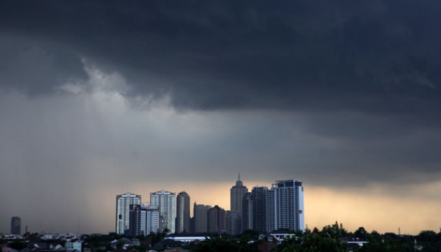
TEMPO.CO, Jakarta - Tropical cyclone Teratai started to form around the Indonesian Ocean, in the waters southwest of Lampung at 7 p.m. Wednesday, December 1. The Meteorology, Climatology, and Geophysics Agency (BMKG) warned the West Java region to stay alert to the impact of the tropical storm which potentially causes extreme weather.
BMKG monitored that the tropical cyclone was located at 9.5 degrees south latitude and 101.9 degrees east longitude, about 600 kilometers southwest of Tanjung Karang.
The maximum wind speed around the tropical cyclone reached 40 knots or 75 kilometers per hour. “The Tropical Cyclone Teratai is moving westward away from Indonesian territory,” said Head of Bogor Climatology Station, Indra Gustari, in a written statement, Wednesday, December 1.
Previously, the tropical cyclone seeds in the form of a large-scale vortex appeared last Sunday in the southwest of West Java. Two days later, the climatology researcher at the Center for Atmospheric Research and Technology at the National Research and Innovation Agency, Erma Yulihastin, said the vortex was increasingly expanding and developed into a cyclone or tropical storm on Wednesday.
Even though it is now moving away from Indonesian territory, the BMKG stated that the West Java region should be aware of the indirect impact of the tropical cyclone in the next 24 hours or Thursday, November 2.
According to the BMKG, the potential impacts include rain at a moderate to a heavy intensity which may be accompanied by lightning, strong winds, and high waves of 2.5 to 4 meters in the southern waters of West Java.
Read: BMKG Reveals Signs of Possible Heavy Rain, Hail
ANWAR SISWADI (CONTRIBUTOR)