BMKG Warns of Tidal Flood as Ex-Tropical Cyclone Lincoln Triggers Heavy Rain, Strong Winds
Translator
Editor
24 February 2024 12:16 WIB

TEMPO.CO, Jakarta - The Meteorology, Climatology and Geophysics Agency (BMKG) was monitoring tropical cyclone Lincoln in the Indian Ocean, in the southeastern part of Bali, precisely at 17.9° South Latitude and 115.2° East Longitude with a maximum wind speed of 30 knots and a minimum wind pressure of 997 hPa moving to the southwest direction.
"The potential for the ex-Tropical Cyclon Lincoln to return into a tropical cyclone within 24 hours is in the high category, especially in the next 6-12 hours," said BMKG in its weather forecast on Saturday, Feb. 24.
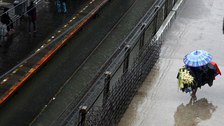
The indirect impact of the former Tropical Cyclone Lincoln was moderate to heavy rain accompanied by strong winds in Central Java, the Special Region of Yogyakarta, and East Java.
In addition, the other impact is a high wave of 1.25-2.5 meters in the waters of Java Island, the waters south of Bali Island to Sumba Island, the Indian Ocean south of Banten, the Indian Ocean south of Sumba Island, the waters north of Sabang, and the north of Malacca Strait. Meanwhile, a 2.5-4 meter wave may occur in the Indian Ocean south of West Java to West Nusa Tenggara.
Generally, light rain will fall on Sumatra, but moderate rain will likely shower Lampung, Bengkulu, West Sumatra, Bangka-Belitung, Riau, and North Sumatra. Meanwhile, heavy rain is expected to wet South Sumatra Selatan and Jambi.
Light-intensity rain is also predicted to occur in Java. Moderate rain to fall on East Java, Yogyakarta, West Java, and Banten. Heavy rain will shower Central Java. In Bali, West Nusa Tenggara (NTB), and East Nusa Tenggara (NTT) generally will see light rain but have the potential to see moderate rain.
Light-intensity rain will also occur in Kalimantan in general. But moderate intensity rain will fall on South Kalimantan, Central Kalimantan, West Kalimantan, and East Kalimantan. Meanwhile, heavy rain is predicted to shower North Kalimantan.
In Sulawesi, generally, it will see light rain but moderate rain is forecasted to shower South Sulawesi, Southeast Sulawesi, West Sulawesi, Central Sulawesi, and North Sulawesi. Light-intensity rain will also fall on Maluku and Papua. But moderate rain will occur in Maluku, West Papua, and North Maluku, while heavy rain will occur in Papua.
The wind pattern in the northern part of Indonesia generally moves from the north to northeast with wind speeds ranging from 8 - 20 knots, while in the southern part of Indonesia, it generally moves from the southwest to northwest with a speed of 6 - 20 knots.
The highest wind speeds were observed in the North Natuna Sea, Makassar Strait, Sulawesi Sea, waters of the Sangihe - Talaud Islands, Maluku Sea, Seram Sea, Banda Sea, and Arafuru Sea.
The air temperature in big cities in Indonesia ranges from 19 to 34 degrees Celsius with air humidity ranging from 55 to 100 percent.
The BMKG warns people to be aware of the potential for tidal floods which are expected to occur on the coast of North Sumatra, the coast of the Riau Islands, and the coast of West Kalimantan.
Erwin Prima
Editor's Choice: BMKG Says Raging Winds in Rancaekek Not Tornado
Click here to get the latest news updates from Tempo on Google News