Indonesia's Weather Forecast: 90W Tropical Cyclone Triggers Rain in Some Regions
Translator
Editor
11 September 2023 07:19 WIB

TEMPO.CO, Jakarta - Indonesian Meteorology, Climatology, and Geophysics Agency (BMKG) is monitoring 90W tropical cyclone seeds in the Philippine Sea, north of Papua. “Cyclone seeds are detected at a maximum wind speed of 15 knots and a minimum air pressure of 1006.5 hPa,” the agency said in its latest weather forecast.
Over the next 24 hours, the cyclone seeds will propagate to the northeast with a low potential to grow into a tropical cyclone. They caused an elongated convergence and confluence zone in the Pacific Ocean, east of the Philippines.
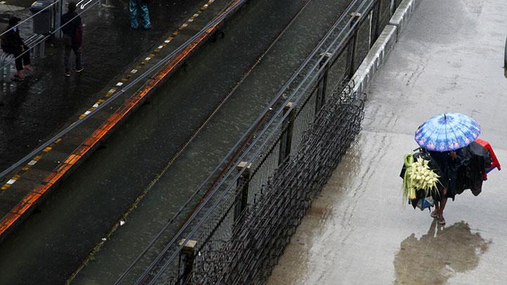
Indirect impacts on Indonesia’s weather include moderate to heavy rainfall in North Kalimantan, Gorontalo, North Sulawesi, North Maluku, West Papua, and Papua. Sea waves are expected to reach 1.25-2.5 meters in the waters of the Sangihe Islands-Talaud Islands, the waters of the Sitaro Islands, the Maluku Sea, and the Pacific Ocean north of Halmahera.
Heavy rain is also expected to drench Manado today, September 11. Ambon, Ternate, and Medan are likely to be drenched by moderate-intensity rain, while drizzle is possible in Banjarmasin, Samarinda, Tarakan, Tanjung Pinang, Jayapura, Manokwari, and Mamuju.
In addition, the capital of South Kalimantan Province, Banjarmasin, will be covered in smoke, while fog will descend on Jambi. The air temperature ranges from 17-34°C with the lowest temperature in Bandung and the highest temperature in Banda Aceh, Central Jakarta, Semarang, Banjarmasin, and Palembang.
An early warning for the possible impact of heavy rains is issued for East Kalimantan, North Kalimantan, North Sulawesi, Central Sulawesi, Gorontalo, North Maluku, Maluku, West Papua, and Papua. Strong winds are also possible to hit West Nusa Tenggara (NTB) and East Nusa Tenggara (NTT).
MARIA FRANSISCA LAHUR
Editor's Choice: BMKG Spots Cyclone Seed in Latest Weather Forecast
Click here to get the latest news updates from Tempo on Google News