Lupa Kata Sandi? Klik di Sini

atau Masuk melalui

Belum Memiliki Akun Daftar di Sini


atau Daftar melalui

Sudah Memiliki Akun Masuk di Sini

Konfirmasi Email

Kami telah mengirimkan link aktivasi melalui email ke rudihamdani@gmail.com.

Klik link aktivasi dan dapatkan akses membaca 2 artikel gratis non Laput di koran dan Majalah Tempo

Jika Anda tidak menerima email,
Kirimkan Lagi Sekarang

Moderate Earthquakes Hit East Nusa Tenggara

Translator

Editor

2 November 2015 10:20 WIB

Earthquake illustration. TEMPO/Prima Mulia

TEMPO.CO, Kupang-Earthquakes and aftershocks between 4.5 and 4.6 magnitude occurred on Sunday and Monday, November 2, in two regencies in East Nusa Tenggara (NTT), Labuan Bajo and Alor. No reports of damages were reported from the incident.

Kupang Meteorology, Climatology, and Geophysics Agency (BMKG) said Sunday that a 4.6 magnitude earthquake were recorded at 6:03 am (Central Indonesian Time) at 67 South Latitude, 119.41 East Longitude, 108km North West of Labuan Bajo.

Meanwhile on Monday, a 4.5 magnitude quake shook Alor at 12:51 am (Central Indonesian Time) at 8.32 South Latitude, 125.19 East Longitude, occurring at a depth of 53km southeast of Alor.

Mila, a resident of Alor, claimed she did not feel the quake occurring in the area, as the quake occurred midnight.

Mila says earthquake frequently occurs in Alor, NTT, during a prolonged dry season. “Excessive heat will create earthquakes, she said.

No possible threat of tsunami were detected.

YOHANES SEO


Merapi Spewing 2-km of Hot Clouds

8 Februari 2019

Merapi Spewing 2-km of Hot Clouds

Merapi volcano exhumes two kilometers of hot clouds for 215 seconds towards the Southeast.


Bali Volcano Mount Agung Eruption Phase Returns

11 Januari 2019

Bali Volcano Mount Agung Eruption Phase Returns

Mount Agung in Bali erupted on Thursday evening, January 10, at 17:55.


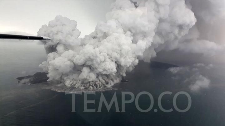
Mount Anak Krakatau Volcanic Ash Reaches Cilegon, 70 KM Away

26 Desember 2018

Mount Anak Krakatau Volcanic Ash Reaches Cilegon, 70 KM Away

Cilegon is distanced roughly 70 kilometers from the Mount Anak Krakatau based on Google maps calculations.


PVMBG: Status of 20 Indonesian Volcanoes Above Normal

19 Desember 2018

PVMBG: Status of 20 Indonesian Volcanoes Above Normal

The Volcanology and Geological Disaster Mitigation Agency (PVMBG) said volcanic activities of 20 Indonesian mountains are above normal.


Mount Soputan Generating Less Energy, PVMBG Status Remains Alert

18 Desember 2018

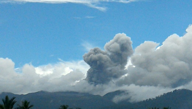
Mount Soputan Generating Less Energy, PVMBG Status Remains Alert

PVMBG reported that two districts were showered with volcanic ash rain after Mount Soputan erupted on Sunday morning, December 16.


Mount Agung in Bali Highly Active, Thousands Seek Refuge

14 Desember 2018

Mount Agung in Bali Highly Active, Thousands Seek Refuge

BNPB stated that the number of refugees continues to increase
as the result of the increasing volcanic activity of Mount
Agung, Bali.


Anak Krakatau Erupts 232 Times

14 Desember 2018

Anak Krakatau Erupts 232 Times

The volcanic Mount Anak Krakatau in Sunda Strait, Lampung
Province, erupted 232 times throughout Wednesday, October 24.


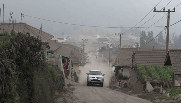
BMKG Ensures No Volcanic Ashes in Yogyakarta

1 Januari 1970

BMKG Ensures No Volcanic Ashes in Yogyakarta

The Meteorology, Climatology, and Geophysics Agency (BMKG)
ensured that volcanic ash will not fall in Yogyakarta today.


Mount Dukono Erupted 2,013 Times Last Week

1 Januari 1970

Mount Dukono Erupted 2,013 Times Last Week

The volcanic activity of Mount Dukono, North Halmahera, North
Maluku continues to increase with 2,013 eruptions


Govt Warns of Flash Flooding on Mount Sinabung

1 Januari 1970

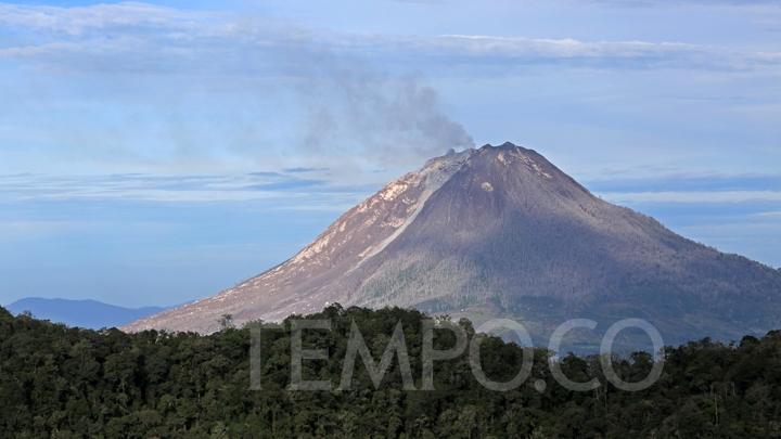
Govt Warns of Flash Flooding on Mount Sinabung

The government has warned people around Mount Sinabung against
having activities in the red zone i.e. around 3 kilometers of
the volcano.