BMKG Monitors Cyclone Seeds That May Trigger Heavy Rain, High Waves
Translator
Editor
8 February 2022 07:40 WIB
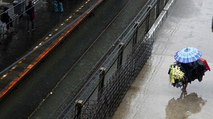
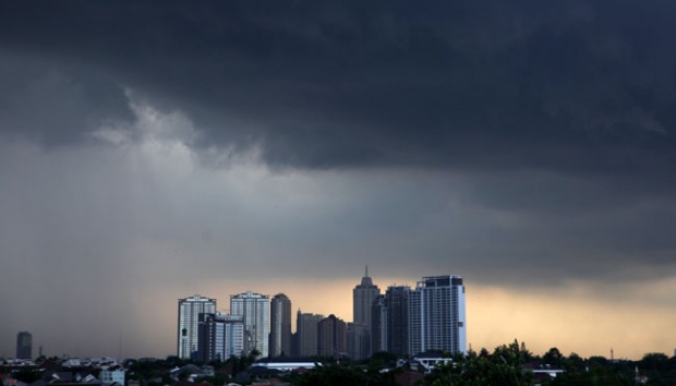
TEMPO.CO, Jakarta - The Meteorology, Climatology, and Geophysics Agency (BMKG) forecasted that parts of Indonesia have the potential for heavy rain which may be accompanied by lightning or thunder and strong winds today, Feb. 8.
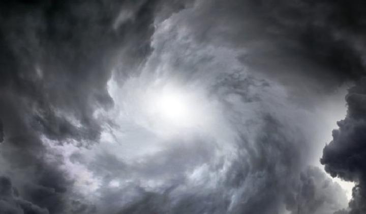
The agency is still monitoring the presence of tropical cyclone 93S in the Indian Ocean southwest of Banten, West Java, which forms a confluence and convergence area.
The increase in low-level jet induced by the tropical cyclone seeds was observed in the Indian Ocean west of Bengkulu to the south of West Java.
A cyclonic circulation was also observed in West Kalimantan, forming a convergence area that extends from East Kalimantan to the eastern part of the Natuna Sea, from the Natuna Sea to the northern part of the Karimata Strait, from the Central Java Sea to East Java, from the central Makassar Strait to South Sulawesi, and in the Maluku Sea.
The condition may increase the potential for rain cloud growth around tropical cyclone seeds/cyclonic circulation and along the convergence area.
Regions with the potential for heavy rain accompanied by lightning and strong winds on Tuesday include Aceh, North Sumatra, Riau, Riau Islands, Bengkulu, Jambi, South Sumatra, Bangka Belitung Islands, Lampung, Banten, West Java, Jakarta, Central Java, Yogyakarta, East Java, West Nusa Tenggara, East Nusa Tenggara, West Kalimantan, Central Kalimantan, North Kalimantan, East Kalimantan, South Kalimantan, North Sulawesi, Gorontalo, Central Sulawesi, West Sulawesi, South Sulawesi, Southeast Sulawesi, North Maluku, Maluku, West Papua, and Papua.
The BMKG also predicted that high waves at up to four to six meters height will occur in the Pacific Ocean north of West Papua.
Read: Cumulonimbus Cloud Growth Intensity Causes Strong Winds: BMKG
MARIA FRANSISCA LAHUR