Cyclone Seroja Intensity Predicted to Increase within Next 24 Hours
Translator
Editor
7 April 2021 17:30 WIB

TEMPO.CO, Jakarta - The Meteorology, Climatology and Geophysics Agency (BMKG) forecasted that Cyclone Seroja to grow more intense within the next 24 hours.
Based on the analysis on Wednesday, April 7, the agency detected that the cyclone passed over the Indian Ocean, in the southern part of West Nusa Tenggara (NTB), and moved further southwest from Indonesia with speeds of 6 knots.
According to the BMKG records yesterday, the strength of the hurricane produced by the tropical cyclone reached 65 kilometer per hour or 35 knots with pressures up to 995 hPa.
The agency’s written statement on April 7 suggested that Cyclone Seroja was headed to the Indian Ocean south of Bali or 730 kilometers southwest of Waingapu and further away from Indonesia. The cyclone has also increased its speed up to 40 knots or 75 kilometers per hour.
The meteorology agency also warned about high-tides up to 4-meters in the Sunda Strait and the sea areas close to Lampung, Java Island, Sumba, and Rote Island.
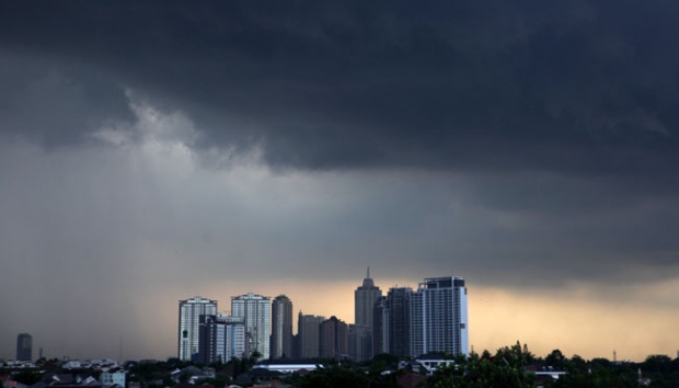
However, BMKG warned that rainfall and strong winds will spread across a large portion of Indonesian regions from Central Java, Yogyakarta, East Java, Bali, and West Nusa Tenggara. Meanwhile, the hardest-hit region by the cyclone East Nusa Tenggara (NTT) will experience medium-intensity rain.
Read: BMKG Attributes 'Abnormal' Cyclone Seroja to Global Warming
DEWI NURITA