LAPAN Explains Constant Rainfall During Indonesia's 'Dry Season'
Translator
Ricky Mohammad Nugraha
Editor
Petir Garda Bhwana
Rabu, 23 Juni 2021 09:45 WIB

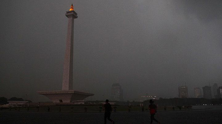
TEMPO.CO, Jakarta - Climatology researcher at the National Institute of Aeronautics and Space (LAPAN) Center for Atmospheric Science and Technology, Erma Yulihastin, provided an explanation behind the cause of the rainfall over Indonesian regions that has occurred nearly on a daily basis.
Rain occurring during this period is deemed an anomaly as Indonesia would usually enter the dry season in previous years. However, heavy rainfall continues to take place in Indonesia's western hemisphere in Java and Sumatra.
Erma explained that this is mainly caused by the ocean-atmospheric dynamics happening over the Indian Ocean and referred to the formation of low-pressure whirlwinds or vortices in the southern part of the equator, located near the coast of Sumatra and Java islands.
The LAPAN researcher predicts that the intensive vortex formation since early June will last throughout the annual dry season.
“Thus potentially creating an anomaly of a wet dry season in July-October this year,” the researcher noted in LAPAN’s social media account.
This prediction aligns with the negative Indian Ocean Dipole which causes concentration of cloud and rain activity in the western hemisphere of Sumatra Island. This itself, Erma said, is enough to cause the lengthy rainfall throughout what Indonesia considers to be a dry season.
Read: LAPAN: Heavy Rain to Fall on Jakarta Greater Area until Sunday
ZACHARIAS WURAGIL