

Tropical Cyclone Seroja Expected to Intensify; Heavy Rain to Shower NTT
Translator
Editor
5 April 2021 11:00 WIB
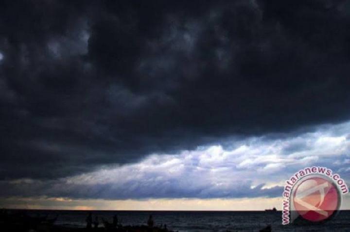
TEMPO.CO, Jakarta - The Meteorology, Climatology, and Geophysics Agency (BMKG) predicted that tropical cyclone Seroja will intensify within the next 24 hours with a strength of 55 knots or around 100 kilometers per hour and a speed of 10 knots (19 km/hour) moving away from Indonesian territory.
“It is estimated that the intensity of the tropical cyclone Seroja will strengthen within the next 24 hours and move towards the southwest,” said Deputy for Meteorology Guswanto in his statement, Monday, April 5, 2021.
Based on the agency’s analysis, on Tuesday, April 6, at 01:00 WIB, the cyclone will be in the Indian Ocean southwest of Rote Island, or at 11.6 degrees South Latitude, 120.0 degrees East Longitude, or about 360 km southwest of Rote.
Guswanto explained that the intensifying cyclone will potentially cause moderate to very heavy intensity rain accompanied by lightning or strong winds in East Nusa Tenggara, West Nusa Tenggara, South Sulawesi, Central Sulawesi, Southeast Sulawesi, and Maluku.
It will also increase the sea waves to a height of 1.25-2.5 meters in the eastern part of Sumba Strait, Sape Strait, Sumbawa Sea, northern waters of Sumbawa to Flores, Wetar Strait, the waters of Sabalana Islands to the Selayar Islands, southern waters of Baubau-Wakatobi Islands, the waters of Sermata-Leti Islands, the northern part of the Banda Sea and the western part of Arafuru Sea.
Due to the tropical cyclone, BMKG also forecasted sea waves with a height of 2.5-4.0 meters in the western part of Sumba Strait, Flores Sea, the southern waters of Flores, the southern waters of Sumba Island, Savu Sea, Ombai Strait, and the western southern Banda Sea, as well as 4.0- 6.0-meter-high sea waves the waters of Kupang-Rote Island.
Read: BMKG Sheds Light on La Nina Effects on Tropical Cyclone
ANTARA


