Sumatera Shrouded by Haze from 759 Hotspots
Translator
Editor
Senin, 31 Agustus 2015 12:50 WIB
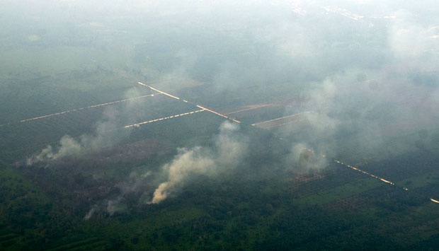
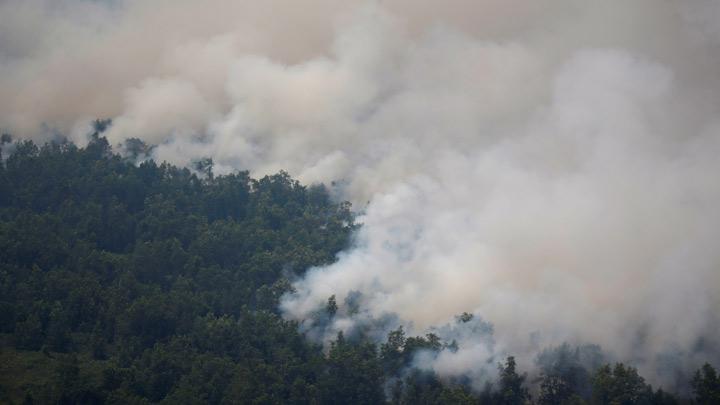
TEMPO.CO, Jakarta - The Pekanbaru Meteorology, Climatology and Geophysics Agency (BMKG) said their satellites have located 759 hotspots in the island of Sumatera. These hotspots, indicated as land and forest fires, have caused leaves thick haze all the way to Riau.
Pekanbaru BMKG chief Sugarin on Monday, Aug. 31 named three areas with the most hot spots. They are Jambi with 250 locations, followed by South Sumatra with, and Riau with 167 spots.
The haze surrounding Sumatera have resulted in reduced visibility. In Pekanbaru, the average visibility is now around 1 kilometer.
Sutopo Purwo Nugroho, chief of the Data and Information Center for the National Disaster Management Agency (BNPB), said that the agency is addressing the situation by sending planes to create artificial rain in Riau, South Sumatra and West Kalimantan.
The BNPB also sends 13 water-sprayer helicopters to Riau, South Sumatra, Jambi, as well as West and Central and South Kalimantan.
For this disaster, the BNPB earmarked Rp385 billion, which is mostly spent on aircraft rental and operation. Officers from BPBD, Mangala Agni, the military, the police, and the MPA are also sent to put out fires on land.
RIYAN NOFITRA