TEMPO.CO, Jakarta - Climate researcher from the National Research and Innovation Agency (BRIN), Erma Yulihastin, said El Nino is not the lone signal behind higher surface temperatures in the Pacific Ocean for the past couple of months. This year's subsurface warming, which Erma likened to the conditions of the 1997 El Nino, comes alongside a few other climate phenomena.
Besides subsurface warming, the rapid movement of Kelvin waves—referring to the mass and energy propagating eastward in the equatorial regions—is also swirling in Pacific waters. "Based on its evolutionary time, the push from the Kelvin waves triggers a more rapid climate change," Erma told Tempo on Monday, June 1, 2026.
The El Nino situation is also compounded by the 'Blob,' an extreme marine heatwave depicted as a 'mass' in a specific area. This extreme heat area is currently concentrated near the southern regions of America, different from the strongest El Nino point currently detected in the eastern Pacific near Peru.
Unlike the 1997 El Nino, Erma mentioned that the surge of the 'Blob' occurred in the midst of the 2015 El Nino. In other words, the Earth is currently facing climatic conditions similar to two past periods at once.
"What is happening in 2026 is not just a single, but multi-phenomenon. There is an El Nino with rapidly strengthening intensity, aggravated by the movement of Kelvin waves and the 'Blob,'" she said.
In addition to the temperature increase, Erma mentioned that the radius of the warming waters also extends northward, a pattern that occurred in 2015. "Global warming, around 1-2 degrees Celsius, also has the potential to exacerbate El Nino," she added.
In Tempo's Premium Report: What Triggers Super El Nino (Apa yang Memicu Super El Nino), Deputy of Climatology at the Meteorology, Climatology, and Geophysics Agency (BMKG), Ardhasena Sopaheluwakan, stated that the strength of El Nino is not influenced by a single factor. "There are numerous factors," Ardhasena told Tempo.
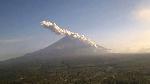
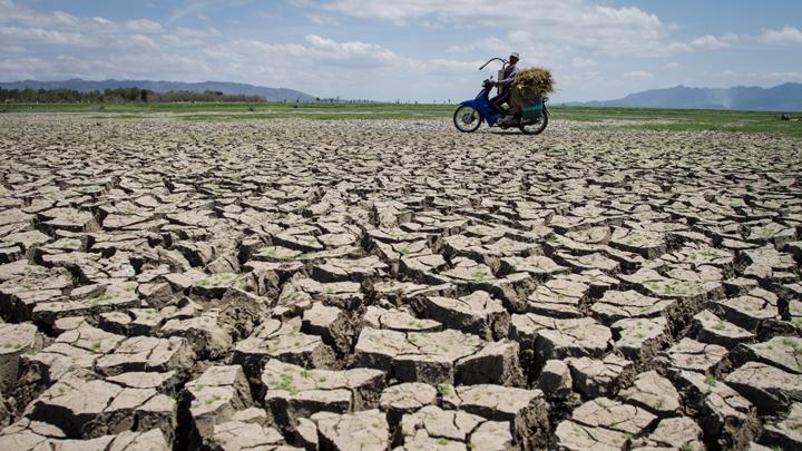
Due to the combination of several climate anomalies, the currently weak-indexed El Nino has the potential to intensify into a strong one, even reaching the level of a Super El Nino.
Researchers from the State Key Laboratory of Satellite Ocean Environment Dynamics and several institutions in China have recently highlighted surface temperature anomalies occurring simultaneously in three separate zones: the western Pacific near Indonesia, the northeastern Pacific near Central America, and the southeastern Pacific near South America.
Principal Researcher at the Climate and Atmosphere Research Center of the National Research and Innovation Agency (BRIN), Widodo Setiyo Nugroho, stated that the temperature disturbances in the three locations form a 'warm ring,' encompassing a central zone that should be cooler. "This pattern has never been observed as strongly in the past 40 years," he said.
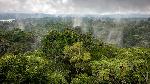
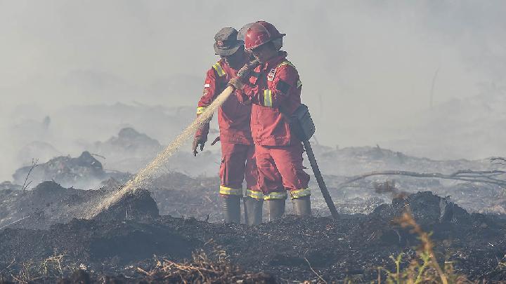
Read: WMO: El Nino Could Trigger Drought in Indonesia in Coming Months
Click here to get the latest news updates from Tempo on Google News