Whole Week of Possible Extreme Weather Looming, says BMKG
Translator
Ricky Mohammad Nugraha
Editor
Petir Garda Bhwana
Senin, 29 April 2019 08:02 WIB

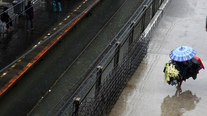
TEMPO.CO, Jakarta - The Meteorology, Climatology and Geophysics Agency (BMKG) announced that potential extreme weather might still occur up to May 2, 2019, following the intra-seasonal atmosphere activity Madden Julian Oscillation (MJO) is in its wet phase.
“That factor has its role in increasing the supply of moist air mass over a number of Indonesian regions,” said BMKG’s meteorology deputy R. Mulyono R. Prabowo on Sunday, April 28.
Moreover, he also announced that a whirlwind has been identified over Sulawesi Sea, Makassar Strait, West Kalimantan, and the South China Sea on the northern side of Kalimantan. This condition can be the meeting point of different pressure winds in Indonesia’s western and central regions.
Read also: BMKG Reports Magnitude 5 Earthquake Hits Aceh Jaya
“That condition can possibly cause heavy rain during April’s last leg up to the beginning of May 2019,” said Mulyono.
The weather condition poses the risk of high tides up measuring up to 4-meters in the waters of Sabang, Aceh, Mentawai Islands, and West Sumatra’s Indian Ocean.
Regions predicted to be hit by heavy rains from April 28 up to May 2, 2019, including West Java, Central Java, East Java, Bali, West Nusa Tenggara, North and East Kalimantan, North Sulawesi, Gorontalo, Central Sulawesi, Southeast Sulawesi, West Sulawesi, North Maluku, and West Papua.
ANWAR SISWADI (CONTRIBUTOR)