For the Indigenous Communities, Maps are the Answer
Translator
Editor
Rabu, 4 September 2013 07:26 WIB

Indigenous people from across the world gathered in North Sumatra last week to discuss advanced mapping technologies, viewed by Indonesia's largest indigenous people's organization as the only way forward in its endeavor of charting the country's customary forests.
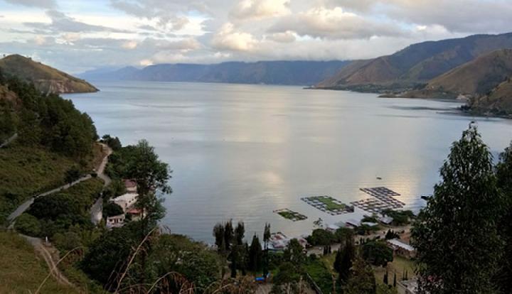
"We need to take advantage of new mapping tools like GPS and 3D mapping to accelerate the process of charting the more than 30 million hectares we have left to document," said Abdon Nababan, secretary general of the Indigenous People's Alliance of the Archipelago (AMAN), as reported in the media. AMAN and Tebtebba, a Filipino indigenous peoples group, organized the Global Conference on Participatory Mapping of Indigenous Territories, held in Samosir, Lake Toba.
The conference brought together indigenous people from 17 countries including Nepal, the Philippines, Brazil, Peru, Nicaragua and Kenya, to share their experiences in participatory mapping and resource inventory. It took place in the wake of the Constitutional Court's ruling in May that customary forests are not "state" forests, as stated in the 1999 Forestry Law.
Indonesia lacks a unified map of its forest areas, one factor behind the hundreds of land conflicts simmering across the country. The government is working to change this, but as it stands now, different state agencies use different maps. The resulting confusion was evident in one example presented at the conference, that of the Lusan community in Borneo, whose land had been handed over, on separate occasions, by three government agencies to three different companies.
"Without maps, it is difficult for indigenous peoples to prove that they have occupied their ancestral lands for centuries," said Giacomo Rambaldi, a senior coordinator at the Technical Centre for Agricultural and Rural Cooperation (CTA), a global NGO that helps with indigenous mapping, according to Phys.org. "If you are able to document and map your use of the resources since time immemorial, you have a chance of asserting your rights over land and water."
The participants came with maps they had made using handheld GPS devices, online mapping apps, satellite images and 3D computer programs. These had been used to win court cases, fend off large companies and more.
AMAN has already mapped seven million hectares of land, but that took 15 years, Abdon said. The way things are going now, with tepid support from the government and outdated mapping technologies, finishing the job would take 30 years. "But we don't have that luxury," Abdon said. "We need to learn [about mapping technology] from other indigenous peoples in Asia, Latin America and Africa about how to map more quickly and effectively."