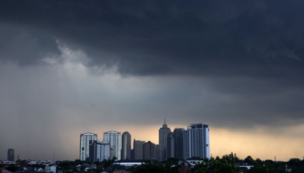
TEMPO.CO, Padang-The Meteorology, Climatology and Geophysics Agency (BMKG) said that the heavy precipitation that caused widespread floods in Padang is caused by the prevailing atmospheric conditions above Indonesia.
BMKG's Deputy for Meteorology, Yunus S. Swarinoto said that warmer-than-usual surface temperatures across Indonesia's western oceans have caused dense and humid cloud masses to flow towards mainland Sumatra from the Indian Ocean. These cloud masses are able to flow further inland as the cold, low-pressure front that is blowing towards Indonesia from Australia is not as dominant, compared to previous seasons.
"The combination of these factors could result in higher-than-average precipitation across Indonesia," said Swarinoto in Jakarta on Friday, June 17, 2016.
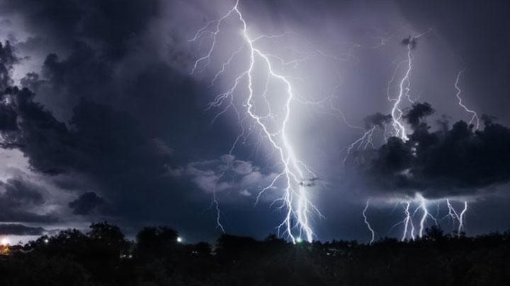
Furthermore, continued Swarinoto, the meeting of the warm and moisture-laden front with the cold front above Sumatra and Kalimantan is causing climactic instability, which may result in increased prevalence of thunderstorms and gale-force winds.
The meeting of these opposing air currents have caused heavy precipitation across Indonesia - unseasonal rainfall have been forecasted in Aceh, North Sumatra, Riau, Bengkulu, Bangka-Belitung, South Sumatra, Lampung, Jakarta, Banten, West Java, Central Java, Yogyakarta, East Java, East Kalimantan, West Kalimantan, North Kalimantan, Maluku and Papua.
"We advise people to be more more vigilant and to keep an eye out for rain-related natural disasters - for instance, flash floods and landslides," said Swarinoto.
BMKG have also issued a warning for maritime transport service providers, as gale-force winds and high waves have been forecasted across waters south of Sumatra, Java, Bali, and East Nusa Tenggara.
Minangkabau BMKG's Head of Meteorological Observation, Budi Samiaji, said that the recent precipitation in Padang can be categorised as 'extreme'. "The rainfall between 16.00 on June 16 until 13.00 this afternoon is recorded at 424 millimetres - this is unseasonably extreme," he said.
ANDRI EL FARUQI