BMKG Warns of Indirect Impact of Tropical Cyclone Seroja in NTB to C. Java
Translator
Editor
8 April 2021 08:12 WIB

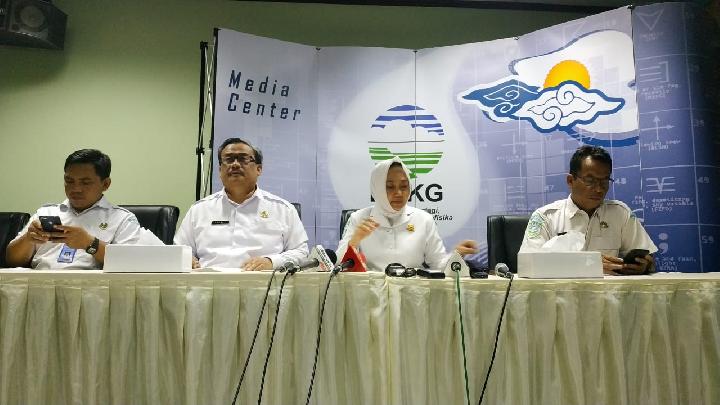
TEMPO.CO, Jakarta - The Meteorology, Climatology, and Geophysics Agency (BMKG) head Dwikorita Karnawati confirmed that the tropical cyclone Seroja has started to drift away from Indonesian territory and head to the Indian Ocean, particularly the west of Australia. The agency also predicted that on April 8-9, 2021, the effects of the cyclone will weaken in East Nusa Tenggara (NTT).
“The effect of the cyclone is getting weaker, although it can also intensify towards the southwest,” said Dwikorita in a press conference on Wednesday evening, April 7, 2021.
Dwikorita explained that the cyclone still has the potential to cause moderate to heavy rain with lightning and strong winds. However, for the NTT region, it is predicted that rainfall intensity will drop to heavy, moderate, up to light level.
Meanwhile, several other provinces are warned to be aware of the indirect impact of the cyclone’s movement towards the Indian Ocean. “Regions of Bali, NTB, East Java, Yogyakarta, and Central Java must be aware of the indirect impact of cyclone Seroja that is drifting away,” said Dwikorita.
Besides, it still has the potential for high waves up to 2.5-4 meters in the southern waters of Java and NTB, the southern Indian Ocean from Java to Bali, and the southern waters of Sumba Island to Rote Island. There is also a potential for high waves up to 4-6 meters in the waters south of NTB to the south of Sumba Island.
Read: Tropical Cyclone Seroja Expected to Intensify; Heavy Rain to Shower NTT
BUDIARTI UTAMI PUTRI


