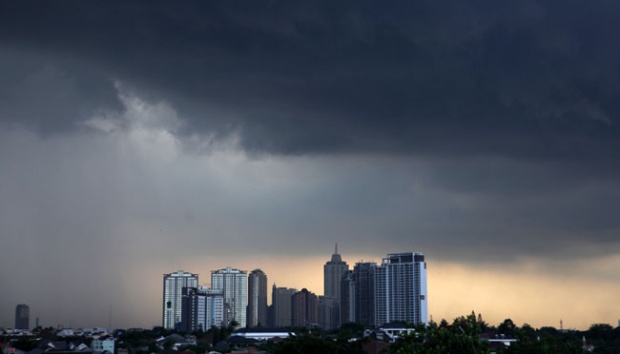
TEMPO.CO, Jakarta - The Meteorology, Climatology, and Geophysics Agency (BMKG), has predicted that precipitation is due to increase substantially at the end of January 2016.
"The La Nina weather pattern is expected to impact the rate of precipitation - especially so around the south of the equator," said the Head of BMKG's Public Information Department, through a press release on Monday, January 25, 2016.
Towards the end of January, several atmospheric phenomena that is expected have an impact on Indonesia's rainfall has been observed. First of all, the Asian monsoon season is expected to reach its' peak in the next couple of days. The peak is expected to coincide with the Madden Julian Oscillation, which is moving towards the east from the west, thus into and over Indonesia.
An increase in atmospheric water saturation has also been observed across Indonesia's western regions.
Second, a westerly-wind current has already begun to blow. According to Mulyono, a cold-front from Asia is expected to move towards Asia, which consequently will increase the chance of precipitation across Indonesia. "Our calculation currently stands a 17.6 - a figure this high is conducive to the formation of rainclouds over Western Indonesia," he said.
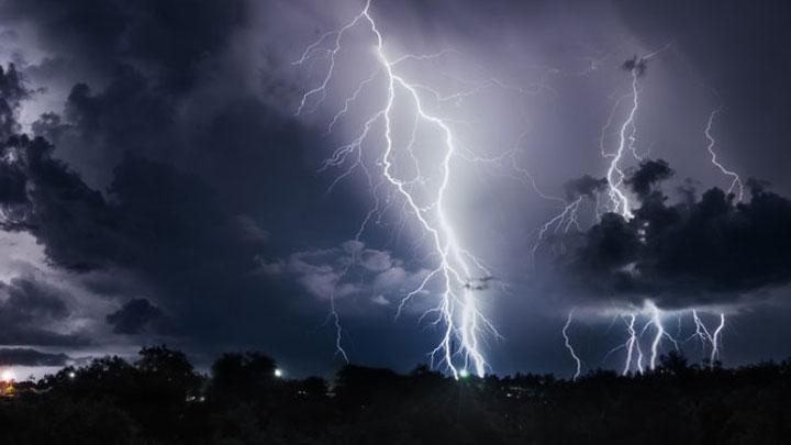
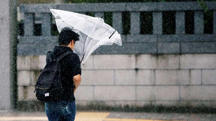
As such, BMKG advices residents to be aware of potential showers with increased intensity and frequency in the next couple of days - especially those who resides along Sumatra's west coast, North and South Sumatra, the Island of Java, Bali, West Nusa Tenggara, Central and South Sulawesi, Central Maluku, as well and Central Papua. BMKG calls on residents to exercise extra caution because increased precipitation may be accompanied with gale-force winds, flash flooding, as well as landslides.
EGI ADYATAMA | BMKG