Expert Explains Extreme Weather Events Occurred in Yogyakarta
29 November 2017 13:14 WIB

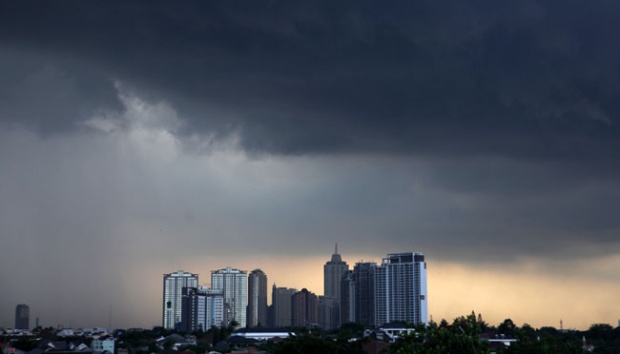
TEMPO.CO, Jakarta - Following extreme weather events occurred in Yogyakarta last night, the Regional Disaster Mitigation Agency (BPBD) has declared an alert status in flood-prone areas, particularly the riparian areas of three major rivers dissecting the city.
“As for the riparian areas, we are on full alert in case of flooding and [people] must evacuate to safer locations…” BPBD Yogyakarta head Agus Winarta said yesterday during an evacuation process of landslide victims in Kali Winongo.
Floods even hit drought-ridden area Gunungkidul. “A school was inundated by flood waters as high as 80 centimeters and fishermen can’t sail,” local search and rescue coordinator Marjono said.
Read also: Cyclone Cempaka Causing Extreme Weather Patterns in Java Island
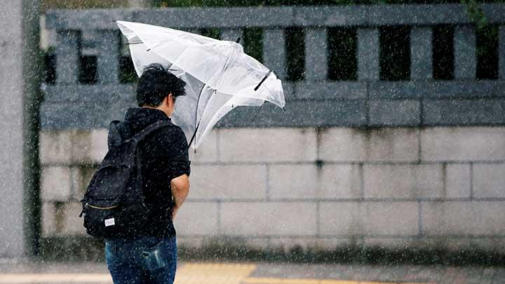
In addition, rain, strong wind and high waves also take place on the south coast of Java.
Armi Susandi, a weather and climate expert from Bandung Institute of Technology, has his say about Yogyakarta’s extreme weather compared to other cities. “Yogyakarta is different than other cities because it is a region with pressure patterns lower than West Java and East Java,” he told Tempo in a phone interview today.
Due to the low pressure patterns, Armi said, extreme weather events hit Yogyakarta, even without cyclones, such as tropical cyclone Cempaka.
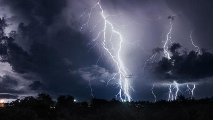
Extreme weather events continue to happen following tropical cyclone Cempaka that hit Banten, Jakarta, West Java, Central Java, Yogyakarta and East Java. Armi said that the cyclone occurred due to extremely low pressure center in the ocean (over 850 mb) and temperatures of over 26.5 degrees Celsius.
Armi also predicts extreme weather events, such as tropical cyclone Cempaka, to become a normal occurrence in the future. “Regions in the south of the equator, particularly the Indian Ocean and the north of Australia, are indeed the ones where cyclones grow,” he noted.
ERWIN PRIMA