Ice Rain in Jakarta Likely to Occur During Transition Period
29 March 2017 20:06 WIB
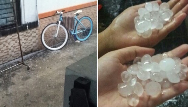
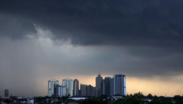
TEMPO.CO, Jakarta - A number of areas in South Jakarta and East Jakarta were struck with thundering storms and ice rain on Tuesday, March 28, 2017. The ice pellets were mostly toy marbles-sized.
Director of Research and Development at the Meteorology, Climatology, and Geophysics Agency (BMKG) Dr. Edvin Aldrian explained that ice rain commonly occurs during a transition period into the dry season. Especially in coastal areas that are close to the mountains.
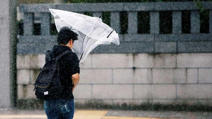
Edvin said that the ice rain phenomena is caused by wind movement. Throughout the transition period, winds do not blow to one single dominant direction. “Layers of wind often striking each other,” he said on Tuesday, March 28, 2017.
On a hot sunny day, sea wind will blow towards the land. This causes the temperature on the land much hotter than the temperature at sea. Edvin stated that Jakarta and Surabaya often receive sea breeze from the northern side vertical to the coastal lines. The wind is usually very moist and wet since it is coming from the sea.
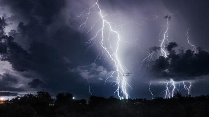
The vertical airflow brings the water vapor from the surface to the center of where the clouds begin to form. The vertical airflow is also called updraft, which built up in the center of the cloud.
“This upward vertical flow is often so strong that it penetrates the negative-temperature air layer called freezing level,” Edvin said. Dense clouds that pass the freezing level is called a cumulonimbus.
Water fumes that enter the freezing level will sublime and the gas will condense into a solid ice. The ice pellets will catch a downdraft which then results in an ice infested rain.
Ice rain will often happen in Jakarta during the transition period from the rainy season into the dry season. Jakarta is a coastal area, while there are three mountains in the Southern part of the city, namely Mount Salak, Mt. Gede, and Mt. Pangrangro.
VINDRY FLORENTIN