Lupa Kata Sandi? Klik di Sini

atau Masuk melalui

Belum Memiliki Akun Daftar di Sini


atau Daftar melalui

Sudah Memiliki Akun Masuk di Sini

Konfirmasi Email

Kami telah mengirimkan link aktivasi melalui email ke rudihamdani@gmail.com.

Klik link aktivasi dan dapatkan akses membaca 2 artikel gratis non Laput di koran dan Majalah Tempo

Jika Anda tidak menerima email,
Kirimkan Lagi Sekarang

Hawaii Helicopter Evacuation Readied as Lava Stream Hits Ocean

Translator

Editor

25 May 2018 10:28 WIB

Lava flows into the Pacific Ocean southeast of Pahoa during ongoing eruptions of the Kilauea Volcano in Hawaii, U.S., May 20, 2018. "We've seen Phase 1. We've seen the clearing out of the system. We call that the 'throat-clearing' phase," Carolyn Pearcheta, operational geologist at the Hawaiian Volcano Observatory, told reporters on a conference call. REUTERS/Terray Sylvester

TEMPO.CO, Pahala, Hawaii - A third lava flow from Hawaii`s erupting Kilauea volcano streamed into the ocean on Thursday as U.S. Marine Corps helicopters stood by to evacuate a Big Island community should molten rock or huge cracks block its final escape route.


Six huge fissures sent rivers of molten rock through a blackened, volcanic wilderness that was once jungle, farmland and rural homes.

Kilauea, one of the world's most active volcanoes, entered the fourth week of what may be an unprecedented, simultaneous eruption at its summit crater and along a six-mile (9.7-km) string of fissures 25 miles (40 km) down its east flank.

At least 50 rural homes and other structures have been destroyed by lava from fissures in a small area of the Big Island. Some 2,000 people have faced mandatory evacuations and another 2,000 in coastal communities may be forced to leave their homes if State Highway 130, their last exit, becomes blocked.

The U.S. Marine Corps deployed two CH-53E Super Stallion helicopters to Hilo, about 24 miles north (39 miles), in support of a task force standing by in case an air evacuation is needed. Each helicopter can carry up to 50 people at a time.

"We now have the capacity to evacuate all of the estimated population of lower Puna south of the lava flow within a few hours," Brigadier General Kenneth Hara of the Hawaii National Guard said in a statement.

Road crews dumped material into cracks on the road and covered them with steel plates in an effort to keep the highway open.

"Talks and discussions have been underway for possible air evacuations if it did come to that," Tim Sakahara, Hawaii Department of Transportation, told reporters in a conference call.

Up at Kilauea's 4,091-foot (1,246-meter) summit, at least 12 explosions a day on average are pumping ash plumes thousands of feet (meters) into the sky. Ash drifted up to 26 miles (42 km)southwest to dust the black sands of Punaluu beach with gray powder before blowing out to sea.

Down on the east flank of the volcano, six fissures re-erupted in lava fountains, as volcanic activity moved west towards Highway 130.

Geologists said that after three weeks of escalating activity, Kilauea volcano has entered a "steady state" of eruption.

"It's probably going to do this for a little while longer," said U.S. Geological Survey scientist Wendy Stovall on the conference call, describing the stage of the eruption as the "middle" or "kind of the steady state."

While a roughly 10-square-mile (26-sq-km) area of the Puna district has been ravaged, authorities stressed the eruption was having limited effects on the Texas-sized island that is a major tourist destination.

Norwegian Cruise Line said it would reinstate port calls to the island's two largest cities, Kona and Hilo, after canceling them in recent weeks. Crystal Symphony cruises also said it planned to return to the two ports after canceling a Wednesday Hilo stop due to "an abundance of caution." 

REUTERS


Merapi Spewing 2-km of Hot Clouds

8 Februari 2019

Merapi Spewing 2-km of Hot Clouds

Merapi volcano exhumes two kilometers of hot clouds for 215 seconds towards the Southeast.


Bali Volcano Mount Agung Eruption Phase Returns

11 Januari 2019

Bali Volcano Mount Agung Eruption Phase Returns

Mount Agung in Bali erupted on Thursday evening, January 10, at 17:55.


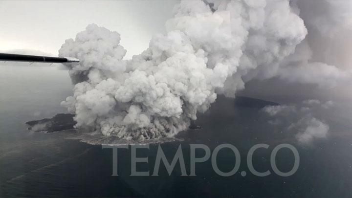
Mount Anak Krakatau Volcanic Ash Reaches Cilegon, 70 KM Away

26 Desember 2018

Mount Anak Krakatau Volcanic Ash Reaches Cilegon, 70 KM Away

Cilegon is distanced roughly 70 kilometers from the Mount Anak Krakatau based on Google maps calculations.


PVMBG: Status of 20 Indonesian Volcanoes Above Normal

19 Desember 2018

PVMBG: Status of 20 Indonesian Volcanoes Above Normal

The Volcanology and Geological Disaster Mitigation Agency (PVMBG) said volcanic activities of 20 Indonesian mountains are above normal.


Mount Soputan Generating Less Energy, PVMBG Status Remains Alert

18 Desember 2018

Mount Soputan Generating Less Energy, PVMBG Status Remains Alert

PVMBG reported that two districts were showered with volcanic ash rain after Mount Soputan erupted on Sunday morning, December 16.


Mount Agung in Bali Highly Active, Thousands Seek Refuge

14 Desember 2018

Mount Agung in Bali Highly Active, Thousands Seek Refuge

BNPB stated that the number of refugees continues to increase
as the result of the increasing volcanic activity of Mount
Agung, Bali.


Anak Krakatau Erupts 232 Times

14 Desember 2018

Anak Krakatau Erupts 232 Times

The volcanic Mount Anak Krakatau in Sunda Strait, Lampung
Province, erupted 232 times throughout Wednesday, October 24.


BMKG Ensures No Volcanic Ashes in Yogyakarta

1 Januari 1970

BMKG Ensures No Volcanic Ashes in Yogyakarta

The Meteorology, Climatology, and Geophysics Agency (BMKG)
ensured that volcanic ash will not fall in Yogyakarta today.


Mount Dukono Erupted 2,013 Times Last Week

1 Januari 1970

Mount Dukono Erupted 2,013 Times Last Week

The volcanic activity of Mount Dukono, North Halmahera, North
Maluku continues to increase with 2,013 eruptions


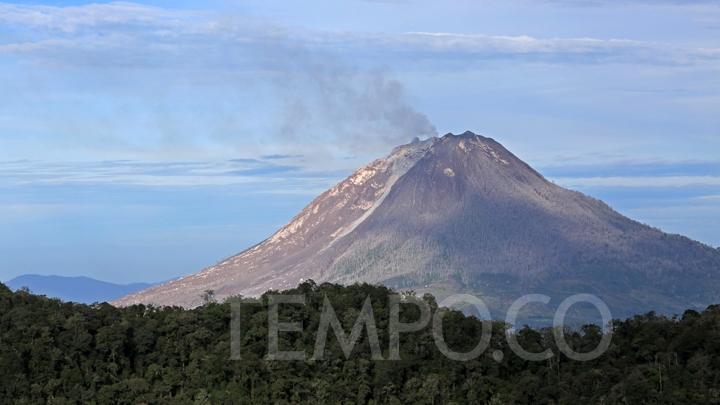
Govt Warns of Flash Flooding on Mount Sinabung

1 Januari 1970

Govt Warns of Flash Flooding on Mount Sinabung

The government has warned people around Mount Sinabung against
having activities in the red zone i.e. around 3 kilometers of
the volcano.