TEMPO.CO, London - Countries are racing to prepare for extreme weather later this year as the world tips into an El Nino — a natural climate phenomenon that fuels tropical cyclones in the Pacific and boosts rainfall and flood risk in parts of the globe.
On Thursday, June 8, the U.S. National Oceanic and Atmospheric Administration (NOAA) declared that an El Nino is now underway. The past three years have been dominated by the cooler La Nina pattern.
Scientists say this year looks particularly worrying. The last time a strong El Nino was in full swing, in 2016, the world saw its hottest year on record. Meteorologists expect that this El Nino, coupled with excess warming from climate change, will see the world grapple with record-high temperatures.
Experts are also concerned about what is going on in the ocean. An El Nino means that waters in the Eastern Pacific are warmer than usual. But even before this El Nino began, in May, the average global sea surface temperature was about 0.1C (0.2F) higher than any other on record. That could supercharge extreme weather.
"We're in unprecedented territory," said Michelle L'Heureux, a meteorologist with NOAA's Climate Prediction Center.
Graphics to help explain how El Nino works. Two diagrams showing climate patterns in the Pacific Ocean for neutral and El Nino conditions.
This year's El Nino could lead to global economic losses of $3 trillion, according to a study published last month in the journal Science, shrinking GDP as extreme weather decimates agricultural production, and manufacturing, and helps spread disease.
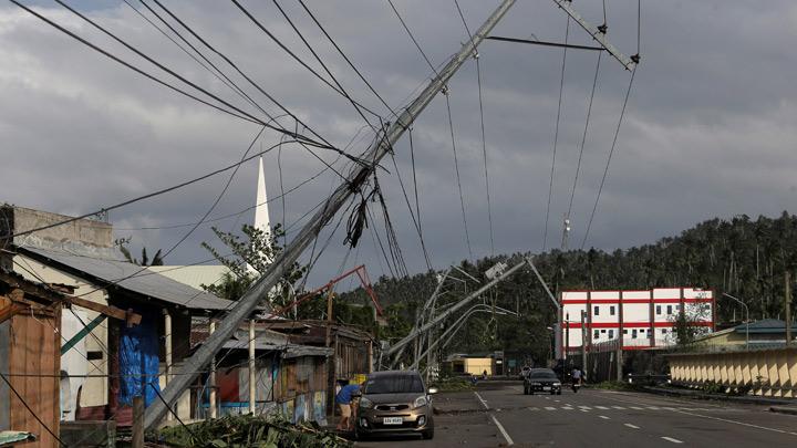
Governments in vulnerable countries are taking note. Peru has set aside $1.06 billion to deal with El Nino's impacts and climate change, while the Philippines — at risk from cyclones — has formed a special government team to handle the predicted fallout.
Here is how El Nino will unfold and some of the weather we might expect:
What Causes an El Nino?
El Nino is a natural climate pattern borne out of unusually warm waters in the eastern Pacific.
It forms when the trade winds blowing east-to-west along the equatorial Pacific slow down or reverse as air pressure changes, although scientists are not entirely sure what kicks off the cycle.
Because the trade winds affect the sun-warmed surface waters, a weakening causes these warm western Pacific waters to slosh back into the colder central and eastern Pacific basins.


