

BMKG Records Earthquakes in Papua: From Jayapura to Wamena
Translator
Editor
25 January 2021 06:44 WIB
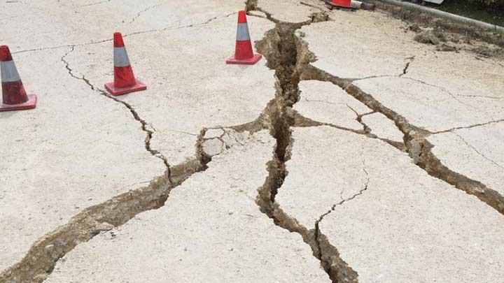
TEMPO.CO, Jakarta - The Meteorology, Climatology, and Geophysics Agency (BMKG) detected an earthquake in Papua precisely 53 kilometers southeast of Jayawijaya. The quake measuring 5.1 magnitudes occurred at 06:49 local time or 04:49 Western Indonesian Time (WIB).
The incident was sourced in land and had no potential to trigger a tsunami, the agency reported via its official website. However, the depth was shallow at 15 kilometers so that residents were asked to stay alert of possible aftershocks.
The tremor was felt at the III level of the Modified Mercalli Intensity (MMI) in Wamena.
A few hours earlier at 01:42 WIB, a 5.2 magnitude quake rocked Sorong, West Papua. The source was detected in the land, 14 kilometers northeast of Bintuni Bay at a depth of 10 kilometers.
The shocking intensity was also measured at III MMI level.
The earthquake in Sorong was about 24 hours after the one that hit Jayapura, Papua, measuring 4.1 magnitudes. It was occurred at 01:28 WIB on Sunday, January 24.
BMKG informed that the source was at sea, or 32 kilometers northwest of Jayapura, and at a depth of 10 kilometers. The tremor was felt up to III MMI level in the region.
Also Also Read: Indonesia Records 2,276 Natural Disasters Since Early January
ANWAR SISWADI (CONTRIBUTOR)


