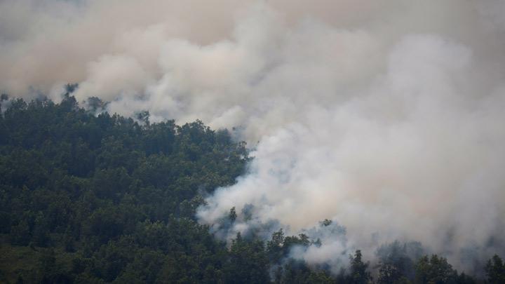
TEMPO.CO, Riau - The Terra and Aqua satellites detected 25 hotspots indicating wildfires across Sumatra Island on Monday morning.
Of the 25 hotspots, 10 were found in Bengklu Province, seven in Riau Province, six in Riau Islands Province, and one hotspot each in the provinces of Jambi and South Sumatra, Sukisno, head of the Pekanbaru meteorology station, noted on Monday.
Read also: Land, Forest Fires Spread to 633 Hectares in Riau
In Riau, two hotspots were detected in the Meranti Islands District, and one each in the districts of Indragiri Hulu, Rokan Hulu, Pelalawan, and Kampar as well as in Dumai City.
The number of hotspots in Riau Province since early 2018 has increased significantly owing to which the Riau administration has declared a forest fire emergency status from February 19 to May 31, 2018.
Read also: Riau Declares Emergency Standby Status over Land and Forest Fires
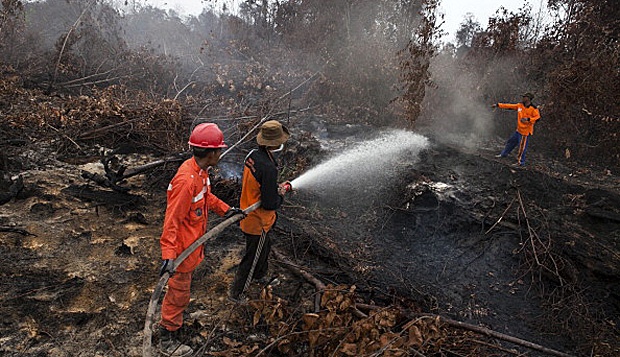
Since January 14, 2018, fires gutted a total of 849.5 hectares of land.
The gutted forest and plantation areas were found in Meranti Islands District, reaching 218 hectares (ha); Siak, 130 ha; Indragiri Hulu, 121.5 ha; Bengkalis, 117 ha; Dumai, 109.25 ha; Pelalawan, 56 ha; Pekanbaru, 31 ha; Rokan Hilir, 26 ha; Indragiri Hilir, 24 ha; Kampar, 15.25 ha; and Rokan Hulu, 1 ha.
ANTARA