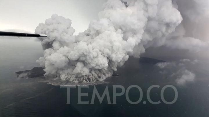
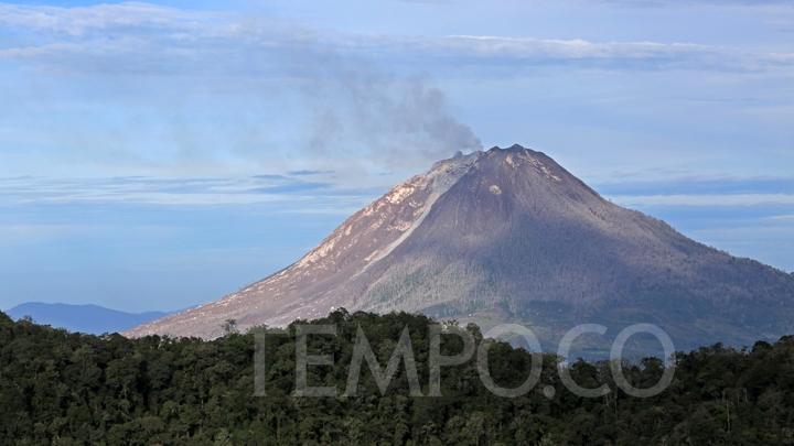
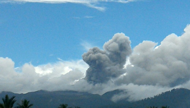
TEMPO.CO, Medan - The continued eruption of Mount Sinabung in North Sumatra's Karo District has forced the closure of two main routes that lead into the Red Zone. According to observations made at Mount Sinabung's Observation Post, the volcanic earthquake has continued to occur - with eruptions of the ash cloud that goes as far as 3.000 meters from the crater.
"The hot clouds are moving towards its previous trajectory - which includes several villages in the district of Namentaran," said The Head of Sinabung's Observation Post, Armen Putra to Tempo on Friday, August 26, 2016. Among the villages that lie along the trajectory of the hot clouds include Bakerah, Simacem, Sukanalu, Sigaranggarang, and Kutagunggung.
Since it was first reported on August 23, 2016, the hot clouds continue to radiate further from the crater - reaching a maximum of four kilometers. Once the dome - which contains some 2,6 million cubic meters of debris - collapses, the hot clouds could reach a distance of seven kilometers from the main crater.
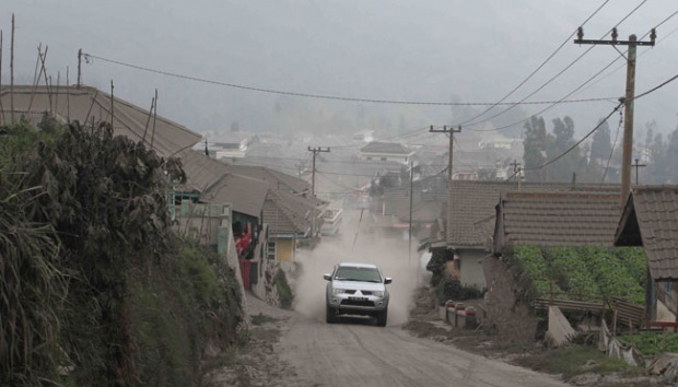
A resident of Kabanjahe, Rahel, said that the eruption has continued to increase in frequency. "As a result, Kabanjahe and Brastagi are covered in volcanic ashes," she said, before adding that the government needs to pay attention to the health of the displaced.
The Commander of Mount Sinabung's Eruption Taskforce, Lt. Col. Agustatius Sitepu, said that army officers have begun ordering people to leave the red zone. "We will continue to remind and remove any people who have been caught entering the red zone," he said.
Two sub-taskforce have been formed to bar resident entry from the red zones - with one being stationed in the District of Payung and Tigarderket - which is commanded by the Commander of the Tiganderket Military District Command. Meanwhile, another will be stationed in the district of Namanteran."
SAHAT SIMATUPANG