TEMPO.CO, Bandung-The Institute of National Aviation and Space (Lapan) has developed a fish availability sensing instrument, the institute said Monday, October 12.
The instrument, designed to enhance the Indonesian fishermen’s productivity by utilizing satellite-based technologyis, is called Decision Support System (DSS). The system can guide fishermen towards areas with high fishing potential and give safety related information during sailing.
"By utilizing the technology from Lapan, the DSS system effectively supports fishermen activity and enhances their ability to detect potential fishing areas," the Deputy for Science and Atmosphere at Lapan, Afif Budiono said on Monday.
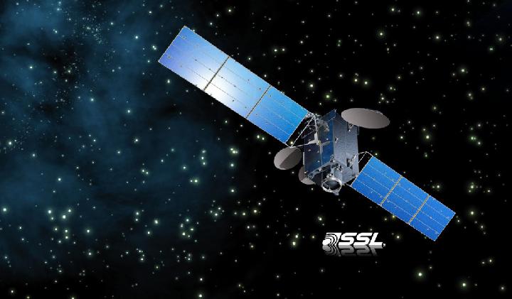
He added that the system, which is connected to the Lapan satellite launched last July, can detect fish population and also locate fishing ships.
It can then provide comprehensive information, including disaster potential factors, such as high speed winds, high waves, and threat of tsunami.
The system, the Deputy said, is also connected to the Indonesian Amateur Radio Organization channel that can effectively spread the information.
In the first phase, the DSS will be made operational in Yogyakarta Province. The Institute will soon develop similar systems for other provinces of Indonesia.
Earlier, in September, Lapan had launched Lapan A2 satellite with the help of the Indian Polar Satellite Launch Vehicle C30. The satellite is equipped with video and digital cameras that can track and locate ships as well as amateur radio traffic. The A2 satellite can monitor shipping traffic, support maritime security and monitor Indonesian maritime resources.
ANTARA